GridImp 2.3 Screenshot
Area Data, Cd Data, Contour, Data, Data Cd, Data Mapping, Data On The Run, Data Warehouse Data Mart, Geography, Get Data, Gis, Grid, Mapping, Mappoint, Maps, Maps Download, Oki Data, Plot, Raw Data, What Is Data
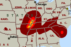
Imports gridded data into MS-MapPoint, to produce attractive data maps.
Input data is defined with geographic coordinates, allowing plots such as seismic hazard, customer/population distribution, etc. Various text formats and coordinates supported.
|