RoboGEO 5.0 Screenshot
Camera, Collection, Data, Delete Google History, Dvd Collection Software, Earth Viewer, Earth's Special Forces, Empire Earth v2 0 Add On Patch, Exif, Field, Geocode, Georeference, Gis, Image, Latitude Video Driver, Latitude x200, Maps Download, Nmea, Photo, Photo Image Software
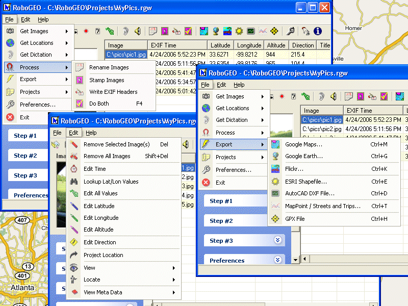
Geocode photos from a GPS for GIS field data collection. Stamp the images or write to the EXIF headers. Export Google Maps, KML KMZ files for Google Earth, Shapefiles (SHP), AutoCAD DXF files, or Flickr. Import from tracklogs, waypoints or GPX.
|