Mapyx Quo 2.1.7 Screenshot
Delete Google History, Digital Dj Software, Digital Id, Digital Maps, Digital Vcr Software, Earth Viewer, Earth's Special Forces, Empire Earth v2 0 Add On Patch, Esri, Garmin, Google Earth Kml, Gps, Gpx, Lowrance, Magellan, Maps Download, Top 10 Digital Camera, Top Digital Cameras, Topo Maps, Waypoints
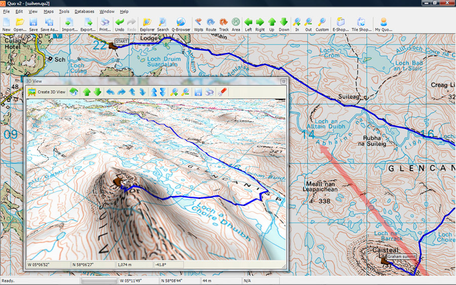
Mapyx Quo enables you to connect your GPS to your PC. View information - elevation, distance, speed, ETA,etc... Quo supports: GE KML,GPX format,ESRI SHP,Geocaching,Garmin,Magellan,OziExplorer files and more. Includes importing your own scanned maps.
|